Tag Archives: uav
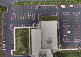
UAS and ALTA Surveys
Part 3 Precision, accuracy, and completeness are the end goals of UAS post processing, but how you get there to meet ALTA standards requires extra care. In Parts One and Two of this article in the September and October 2022 issues of xyHt we looked at the time/cost/precision proposition of using UAS for elements of...
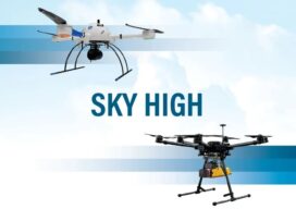
Sky High
UAVs deliver practical and highly technical mobile mapping Collecting imagery with uncrewed aerial vehicles (UAVs) is ideal for a variety of applications including topographic mapping, forestry ground and canopy measurements, powerline corridor mapping, Digital Terrain Model (DTM) generation, high-resolution digital imagery, and orthophoto production, along with support for a variety of other mapping needs. Historically,...
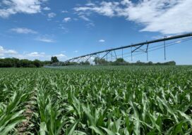
Farming From Space
Airbus and Sentinel Fertigation use satellite imagery to improve sustainable crop production With help from Airbus’ detailed high-resolution 30cm satellite imagery provided by Pléiades Neo, a Midwest crop management software platform is offering a streamlined process for farmers fertilizing crops via irrigation (known as fertigation). Using multispectral imagery of field conditions, Lincoln, Nebraska-based Sentinel Fertigation...

xyHt Weekly News Recap: 10/14/2022
New NSRS Modernization Release Timeline: Mid-2025 Geo Week Calls for Nominations for Excellence in the Geospatial Industry Trimble Changes Headquarters to Westminster, Colorado Mapping Site ShowMyMap.com Rebrands to Mapize.com DOE Announces First Cohort of Post-Secondary Programs to Receive New Zero Energy Design Designation Ashley Hitt to Serve as President of URISA SmartGeo Expo 2022 to...
Looking Forward: Up Above and Down Below
by Jeff Thoreson TWO MAJOR ASPECTS OF THE FUTURE OF THE GEOSPATIAL INDUSTRY don’t have much to do with surveyor boots on the ground—or the ground at all. The next few years of progression in our fields will have a lot to do with what flies above and what lies beneath. Unmanned aerial vehicles—a politically...
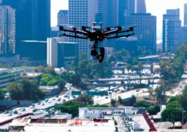
Embracing the Drone Revolution
Surveyor business models changing in the BVLOS era Over the past few months, the Federal Aviation Administration (FAA), working with the drone industry, academia, and general aviation membership organizations such as AOPA (www.aopa.org) and NBAA (www.nbaa.org), has been able to advance the cause of uncrewed flights beyond visual line of sight of the operator (BVLOS). ...