Demand for aerial mapping and its products is higher than ever. While several factors drive the market,
the internet is by far the most significant. Nearly everyone has access to the internet and thus access to
aerial photography in many formats and resolutions. Thank Google and Microsoft for that visibility and
resulting demand. The problem with imagery on the internet is that people expect it to be current, as in
24 hours a day, seven days a week.
Traditionally, the type of imagery that we see on the internet was acquired by a few different companies
that would fly urban areas and license the data to prospective customers. They used existing elevation
models and did not claim to have high positional accuracy. It was current imagery, with reasonable
resolution and accuracy. Now with internet access to free imagery, that market has disappeared.
The product that most users need is accurate orthophotography created from vertical airphotos. The
traditional clients are city and county GIS departments. The USGS and USDA have also been major
players in this market, but funding for these programs is always in flux. Two-year update cycles are
common, with a fair amount of mapping required to update the elevation models. Fortunately for the
industry high resolutions are required, so a lot of mapping companies equipped with airplanes and
digital cameras are getting paid to collect imagery.
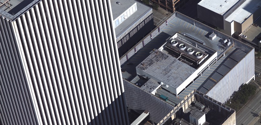
Another active market is oblique imagery. The U.S. company Pictometry pioneered the collection from
aerial platforms, and the imagery has proven to be useful for many purposes, including property
assessment and first responders. With high demand and a reasonable business model, it is safe to
assume that oblique aerial imagery will continue to have a strong market for the foreseeable future.
The demand for lidar continues at an unprecedented rate. My estimate is that lidar will comprise 40%
of the aerial missions in the U.S. this year. Regional consortiums, state-wide initiatives, and federal
programs have all been proposed and are waiting for funding.
There is still demand for traditional photogrammetric mapping to collect planimetric features such as
new roads and building footprints from stereo airphotos. Most of this work is performed to update
existing maps, and it is rare to see it on a regional basis. Some of the planimetic mapping is being done
by extracting features from lidar point clouds.
A lot of mapping needs remain, and the land is always changing, so the need for mapping in all of its
forms will be ongoing. These jobs will be driven by new technologies, yes, but they’ll rely on experienced
people with diverse skill sets.
Photo: Oblique image of downtown Houston, courtesy of Visual Intelligence LP.