One of the fastest growing areas of application for geospatial technologies, precision agriculture is a way to optimize agricultural production through the application of crop information, advanced technologies, and management practices. Precision farmers map in detail variations in soil chemistry, moisture, and other site-specific conditions, use this information to produce “prescription maps,” then use these maps to apply seed, water, fertilizers, pesticides, and herbicides at variable rates to match the variations within each field.
Precision agriculture promises to increase yields, crop quality, and profits and reduce waste, soil compaction, and environmentally damaging runoff—while minimizing overlaps and gaps, saving fuel, and reducing operator fatigue. By practicing precision agriculture, farmers collect vast amounts of data that, in turn, assist them in making decisions about the application of fertilizers and pesticides, irrigation, the distribution of seed densities, and tillage regimes.
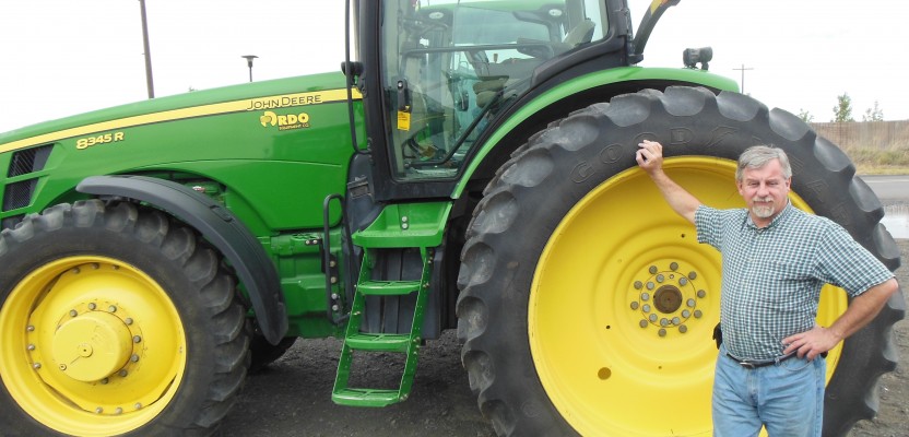
Geospatial technologies are central to precision agriculture. Remote sensing—from satellites, manned aircraft, unmanned aerial systems (UAS), and farm machinery—captures geo-referenced data about soil conditions, plant health, infestations, and more. GPS-based systems steer tractors, combines, and sprayers; selectively manage input application by controlling sections, nozzles, and rows on agricultural sprayers and implements; and geo-locate the data collected by a variety of sensors, including yield monitors on harvesting combines. GIS technology is used to map and integrate the data collected and to produce prescription maps.
Traditional geospatial companies—both hardware manufacturers and software vendors—are pushing into the precision agriculture market, while large manufacturers of farming machinery are routinely integrating geospatial technologies into their products. Dozens of new hardware, software, services, and consulting companies have emerged in the past few years at the intersection of geospatial technology and agriculture.
Precision agriculture is driven by technological advances, economic incentives, environmental concerns, and the need to feed a growing world population with diminishing arable land and water—all factors that are going to continue to push in the same direction for the foreseeable future.
Matteo Luccio has been writing about geospatial technologies for 13 years and has edited six magazines. He is the president of Pale Blue Dot, LLC, based in Portland, Oregon.