If you’re seriously into open source GIS, you were (or should have been) at the FOSS4G
(Free and Open Source Software for Geoinformatics) international conference held
September 8-13 in Portland, OR. An annual event since 2006, FOSS4G is large enough to
attract the heavy-hitter vendors (e.g., Google, Amazon and Boundless), yet small enough to
enable participants to engage open source software rock stars one-on-one. All of the
conference sessions were live-streamed, so there were an untold number of remote
attendees as well (I was one of them).
FOSS4G adherents are a pretty technical bunch—you’d better have a healthy knowledge of
current web mapping technology, because there aren’t any introductory sessions or
acronym explanations. The presentation sessions are 25 minutes long and start wheels up.
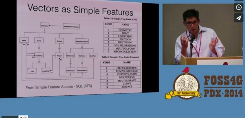
The hot topics this year, from my perspective, were vector tiles and drone data acquisition.
Vector tiles? Transferring web maps in linework (vector) format rather than raster
imagery. Not just a picture anymore, web maps generated from vectors are truly xyHt:
streets running under overpasses are actually continuous, street segments can be
referenced by to-from centerline stationing points, etc. Although not a new technique,
vector data transfer has been historically slow. Vector tiling technology improves server to
browser display times by 5x-10x.
Drone technology, like open source GIS software itself, represents an unprecedented
opportunity for data acquisition that democratizes location-based information on a global
crowd-sourced scale. FOSS4G presentations on drones included image stabilization
techniques and 3D data extraction.
The session videos of FOSS4G are at vimeo.com/foss4g/videos. The 2015 FOSS4G
international conference will be in Seoul, South Korea, and the 2015 U.S. FOSS4G will be
held in San Francisco (2015.foss4g-na.org).