RIEGL USA’s CEO talks about the important trends in the lidar profession.
For an inside look at the lidar profession, Heights interviewed James Van Rens, CEO of RIEGL USA. RIEGL provides a wide range of lidar scanning solutions for the aerial mapping and surveying profession, as well as mobile and terrestrial scanning applications. Van Rens talks about mobile mapping, UAS mapping, Geiger-mode and photon-counting lidar, and other important trends in the lidar profession.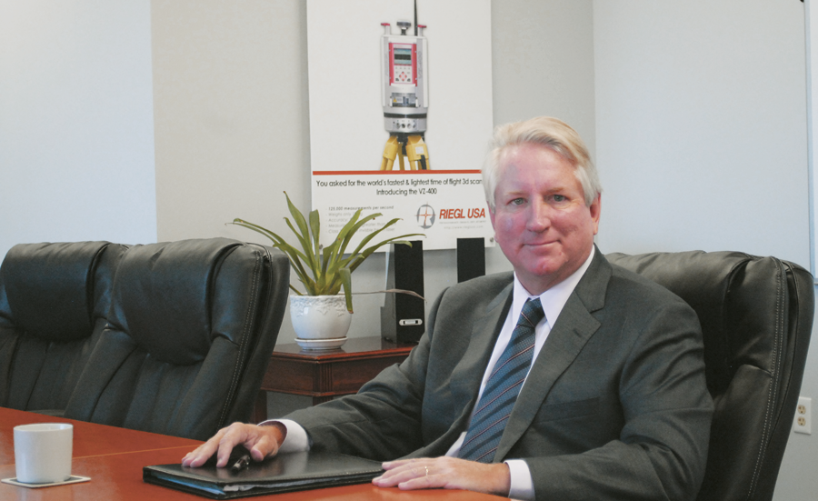
James Van Rens, CEO of RIEGL USA
Heights: UAS and new lidar technologies are dominating the industry news. Do you see the growth in the demand for mobile mapping? Will that growth come from lidar or an image solution produced by autocorrelation?
James Van Rens: New technology always captures our imagination. The survey and mapping industry has lived through several decades of tumultuous change, and it is what we come to expect. UAS is impacting our industry in a dramatic new way. The early adopters are using camera imagery to accomplish projects very quickly. Pixels-to-points is very cool. As is typical of early starts, there is a wide range of quality associated with deliverables. This is due to the wide availability of systems as well as limited operational knowledge of mapping and surveying from many new entrants.
Mobile mapping is more mature and will see dramatic growth over the next several years. The pent-up demand for infrastructure mapping is enormous. For example, much of the infrastructure work requires high-precision as needed by DOTs. As a result, the combination of lidar and photogrammetry available from RIEGL mobile solutions will meet the requirements of DOTs for a variety of infrastructure applications.
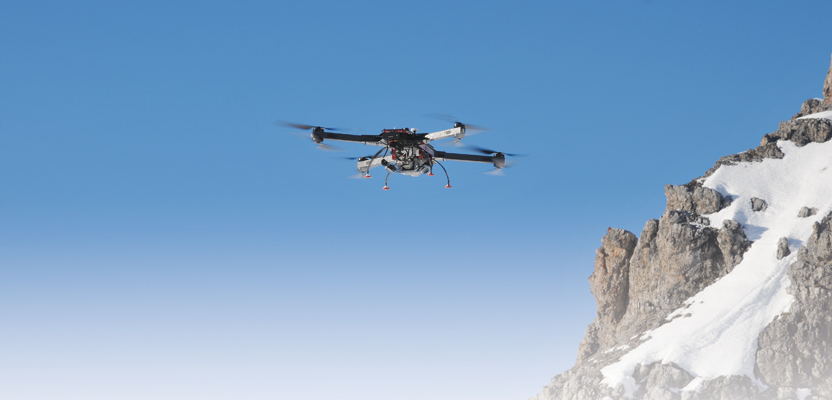
H: Your company offers an advanced UAS mapping system that includes lidar. Traditionally, aerial lidar systems were purchased and operated by photogrammetric mapping companies. Do you see the paradigm shifting to a market where surveying and engineering companies are doing medium to large mapping projects that were traditionally done by photogrammetry companies?
JVR: While it seems that the new UAS solutions are replacing all of the old tools, this is not the case. The explosive growth of UAS is spilling over into more traditional projects, but the UAS promise is to open up new applications with low cost, high speed, and simpler methods. There are impressive high-quality UAS solutions coming to market that rival the quality of more traditional airborne systems, but they are for small projects at the moment.
The aerial market is undergoing a shift caused by UAS as well as other market conditions. Large projects will continue to be managed by the traditional service providers. Almost all of the surveying and mapping firms I speak with have some type of UAV initiative, regardless of whether they are a photogrammetry, GIS, surveying, or engineering firm.
H: RIEGL is an international company, and I am assuming that its UAS systems are being used for commercial mapping projects in Europe and other locations. How have standards for accuracy and public safety been addressed in these markets?

Powerline mapping is one of many lidar applications.
JVR: This daunting task that the FAA is undertaking in the Unites States is being observed by the entire world, and the FAA is monitoring the efforts globally in search of quality solutions. As a result, there is a convergence on obvious public safety issues as well as each country having its own unique issues. The standardization of UAS accuracy so far has been related to sensors mounted on the UAS systems rather than the system itself. UAS standardization efforts have focused more on operational features such as geo-fencing and beyond line of sight.
H: Some new lidar technologies have emerged into the commercial market in the past few years, notably Geiger-mode and photon-counting lidar systems. What impact do you believe these new technologies will have with existing technology, and when will the user see a benefit?
JVR: While Geiger-mode and photon counting are not all that new, it is their appearance in the commercial world that is striking. The theoretical advantages of Geiger-mode begin to drop away under the bright light of reality. There are so many advantages to the linear-mode lidar systems: timeliness of data, specific project deliverables, greater flexibility in acquisition, true-intensity information, multi-sensor platforms, far greater precision, full waveform capability for 3D attributes and analytics, canopy penetration, true bare earth models, faster innovation, and the list goes on.
Companies must use a business model of licensed data due to the complexity of the technology. National photogrammetry, satellites, and now Geiger-mode use this approach. This business model is not successful in a highly competitive marketplace with many commercial providers. The government agencies that see replacing a broad national multi-firm competitive capability with a monopolistic licensed data model will experience rising costs and declining quality and service.
Simple statements that assure that these products meet quality levels do not address the “real” need for accuracy, high spatial resolution, and true intensity information. These are critical for detailed change detection, feature extraction, and analysis. As a result, the single-mode lidar with declining cost of acquisition and ease of use (real time processing) will become more important to the local, regional, and federal governments than image data or the new emerging lidar technologies.
H: Better, faster, smaller, and cheaper: how does a service provider keep up? Can you offer any sage advice from a manufacturer to a service provider?
JVR: The wonderful mantra of faster, better, and cheaper is ingrained in our society and in technology. This is not really a value proposition for a customer, a supplier, or an industry. Successful and long-term service providers know which one of these elements work for them. Many of these successful firms are more focused on continuous improvement rather than a tour de force surrounding faster, better, and cheaper.
All of us have a variety of requirements. I may want to purchase a lower-cost suit but also make higher-cost emotional decisions on organic food. In the end, we need to have tools that allow us to meet the requirements of our customers, and this is more important than the old mantra of “faster, better, cheaper.” For RIEGL, this means a focus on quality and innovation.