
Blog
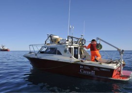
Canadian Hydrographer Certification Scheme
Submitted by Bruce Calderbank, FRICS, CLS, P. Eng. The Association of Canada Lands Surveyors (ACLS) has developed a certification model for hydrographers and offshore surveyors that has been officially recognized by the IHO/FIG/ICA International Board of Standards and Competence for Hydrographic Surveyors and Nautical Cartographers (IBSC) in April 2016 and is now ready to receive applications....

xyHt Magazine April 2017 Issue
Click here to view the April 2017 issue of xyHt magazine
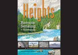
xyHt Magazine Heights 2017 Supplement
Click here to view the Heights 2017 Supplement to xyHt Magazine

Weekly Roundup: xyHt News Links: 3/31/17
Trimble Incorporates Galileo Support in New Version of its GNSS Infrastructure Management Software Sokkia introduces new GCX3 integrated receiver A new release of ‘Spatial Manager’ supports AutoCAD 2018 NOAA seeks new members for hydrographic advisory panel NSPS Student Competition Results NSPS Installs New Officers for 2017 Tallysman Introduces Dual Band + L-band services GNSS antenna...
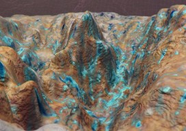
Back to Dinosaur Ridge
Close-range 3D photogrammetry solves mystery of 100-million-year-old dinosaur tracks. Back in the summer of 2014, I visited Dinosaur Ridge, just west of Denver, Colorado, as part of a demonstration of close-range photogrammetry given by CAE Mining, which uses the technology in its volumetric mine site analysis software. Dinosaur Ridge has become one of the world’s...
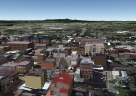
Multipatches, Point Clouds and Meshes
A Guide to 3D GIS Data Formats Moving your GIS to 3D is a daunting task. Not only are there all the vertical issues to take into account, but also a whole new world of jargon, which can, at times, be quite overwhelming. In this post you’ll find a few of the data formats that...
Advertisement