GPI Geospatial, Inc. has been a premier provider of geospatial solutions for over 48 years. Our mission is to map the foundation for infrastructure, transportation, and land improvements that enhance the connectivity between people and communities. It’s our vision to be the most trusted provider of precision mapping, imagery, LiDAR, and surveying services within the transportation, planning, design, construction, and government communities.
We provide innovative surveying and remote sensing solutions to state, local, and federal governments, as well as private-sector clients. Our team understands the value and precision of geospatial data and is committed to providing a customized approach using state-of-the-art sensors, software, and methods to deliver accurate and complete information for design and planning purposes.
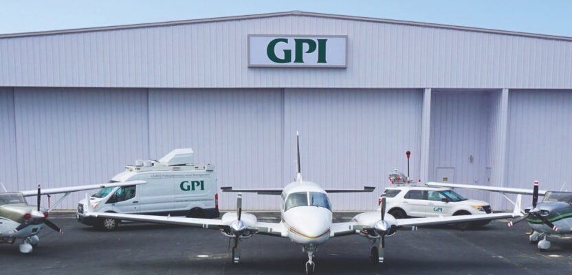
GPI owns and operates multiple aircraft and vehicles equipped with aerial and/or terrestrial imagery and LiDAR sensors to provide customized solutions for our clients, including interior building scanning proficiency. Our dedicated professional team consistently meets the highest standards incorporating vigorous quality control measures at each phase of our disciplines, ensuring quality and customer satisfaction.
Our geospatial project tasks are performed in 11 strategically located national production facilities, not only to service regional and governmental clientele but to safeguard our project workflow against gray-sky or natural disaster events. Our greatest asset remains our employees, many of whom are Licensed Surveyors, Certified GIS professionals, ASPRS Certified Photogrammetrists, and Certified Mapping Scientists. GPI maintains an incentive program for staff certifications to improve employee qualifications for our client services.

