Category Archives: Surveying

Galapagos in 360 Degrees
“Like cinders… infernal… leafless…” Charles Darwin wrote those words in his diary on September 16, 1835, after setting foot for the first time on the Galapagos. Darwin, whose scientific work in the far-flung archipelago considerably changed our understanding of how life on Earth evolves, was a keen observer of nature. And on that day, while...
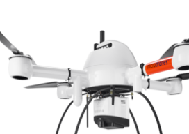
What is Tersus GNSS?
I had seen the name Tersus GNSS in geospatial social media for several years before our xyHt team stopped by their booth at the INTERGEO exhibition in Berlin in 2017. For a startup, launching in 2014, the company appeared to be making a lot of the right moves. As high precision GNSS was entering what...
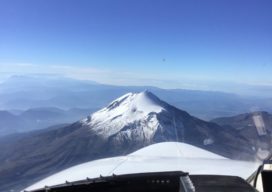
Citation (Jet) Needed: A Start-Up Takes Off
A wealthy investor on the other end of the line said, “Juan, I understand you are photogrammetrist and a pilot. Are you ready for a challenge? I bought six Citation jets in a government auction, and I want you to help me turn them into a modern aerial photography platform.” For those of us who...
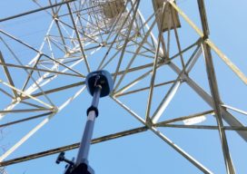
Why renting a UAV may make sense
I have a land surveyor client who’s interested in getting on the UAV train. But like many, he’s concerned with the financial outlay and not quite certain if the UAV path is the right one for his firm. His main concern: Will he be able to fully utilize and monetize the investment? That’s why I’m...

xyHt Weekly News Links 7/17/2020
*Click here to visit xyHt’s Virtual Trade Show* Congress Moves Against FCC’s Ligado Decision Bad Elf Flex™ Adopts the Hemisphere Phantom™ Module Honeywell Refines Navigation Revealing the World from Satellites Common Ground Alliance Launches New Expo
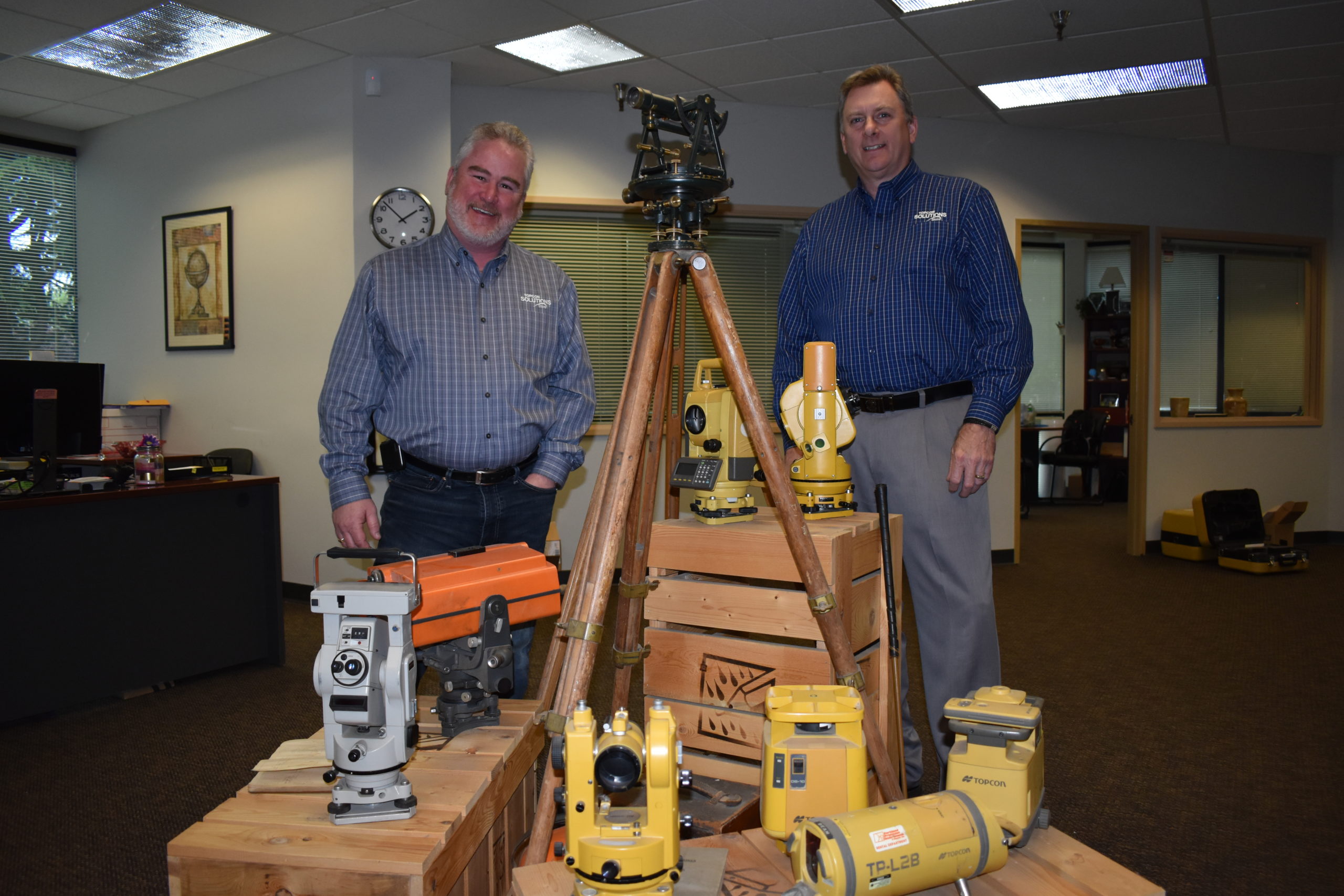
Topcon Solutions Store Leads the Way in Gearing Up
Moves to modernize surveying, engineering, and construction were already well under way—recent events have simply accelerated the process. Many, such as Topcon’s Solutions Store, have used the recent slowdown to adopt new models for workflows, collaboration, distributorships, training, and support to be ready to meet future demand. As the pause button is being released, and...