
The complex system of emergency call routing and critical location data delivery is getting a makeover
Minutes can make a difference between life and death for 911 callers. A quick response with suitable equipment and knowledgeable personnel is the goal of 911 call centers across the country.
However, managing calls and texts from mobile phones is putting a strain on legacy workflows based on analog systems, and new technology such as wearable GPS trackers, smart watch emergency calls, and Onstar Call Centers may need to be incorporated in the future. Although progress is being made toward designing and implementing a Next Generation 911 (NG911) program, comprehensive national coverage continues to be out of reach, particularly in areas with limited funding.
Keeping up with technology
The National Emergency Number Association (NENA) released its E9-1-1 Future Path Plan in 2001, followed by the NG911 Standards in 2011, which clearly stated the importance of “accomplishing seamless transmission of data from the caller to 911, and on to emergency responders.” With the legacy 911 system relying on a copper network of phone lines to homes and businesses, a shift to digital technology is a necessary step to ensure the continued efficacy and reliability of the call routing and location identification process.
GIS is really the cornerstone of NG911 because caller-location is key. An accurate GIS is the only way to provide a precise location for a mobile device, and the information must be available in a compatible format to move between various stakeholders. Today, companies like Google have access to better data through proprietary methods than most 911 dispatchers, so the 911 industry is developing its own processes to address the problem.
“Around 80 percent of 911 calls are being made from wireless devices today,” says Melissa Liebert, NG Location Services Program Manager for ComTech Telecommunications Corp. “A transition to digital technology in NextGen 911 not only increases the flexibility of the emergency response system but provides more accurate location based on GIS instead of relying on physical addresses.”
The NG911 system requires routing wireless 911 calls to public safety answering points (PSAPs) and delivering the caller’s accurate location. However, addressing in the United States has grown organically without consistent standards being imposed. Data gaps, data overlaps, and discrepancies in road names can delay emergency response, so a higher level of quality is required when a GIS is relied on to save lives. Part of the NG911 development process is working with community leaders to improve local addressing methodology.
Slow but steady progress
While individual states such as Tennessee, Indiana, and Massachusetts were early adopters and now have operational NG911 systems, lack of funding is limiting implementation elsewhere. The Public Safety Next Generation 911 Coalition estimates cost for nationwide implementation of NG911 to be $15 billion, considerably more than the $500 million included in the Build Back Better bill passed by the House in 2021.
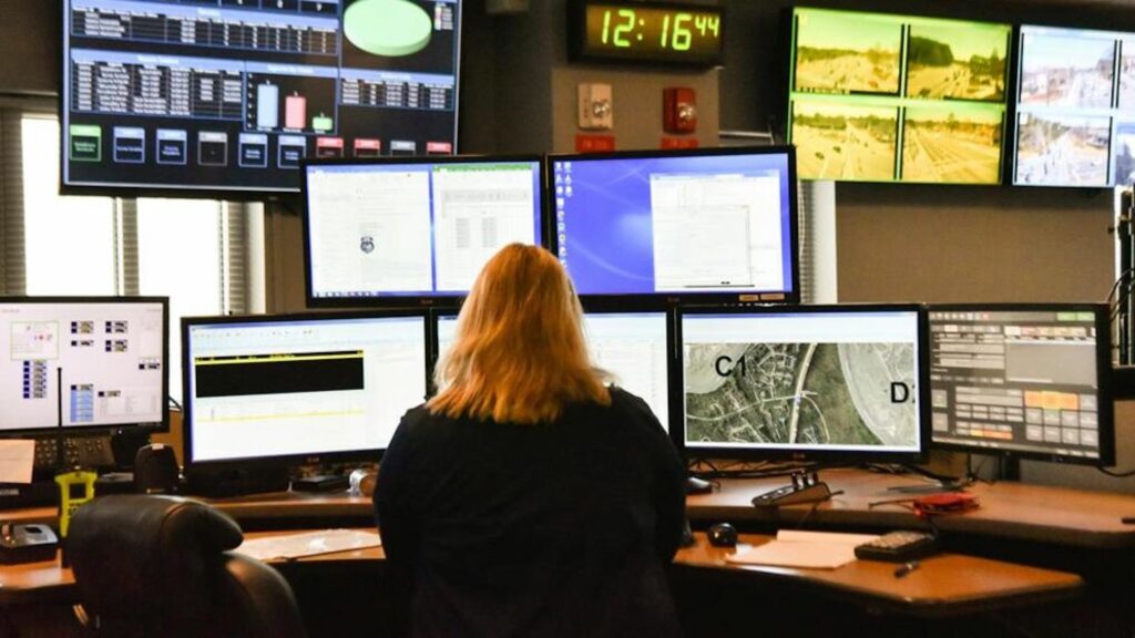
The South Sound 911 center in Tacoma, Washington.
Without universal support at the federal level, some states are providing grant money for 911 and data maintenance/up-grades, while other communities rely on 911 tax money gathered through cellphone bills. Nearly every state is either in the planning, procurement, or implementation phase, so there is measurable progress.
As co-chair of the URISA NG911 Task Force, Liebert works with other volunteer members to help educate, mentor, and provide practical advice to organizations transitioning to NG911. The Task Force is made up of vendors and representatives from local, county, and state agencies—some are subject matter experts who want to share their knowledge, while others are there to learn more about what works, what doesn’t, and where to start the process. The task force is developing a mentorship program to share best practices and also organizes webinars for organizations trying to navigate NG911 implementation.
URISA hosts a virtual Location, Enterprise Addressing, and Public Safety (LEAP) Conference that covers topics related to addressing and how they affect NG911. Speakers representing the U.S. Census, U.S. Department of Transportation, and the USPS share information about federal initiatives for road centerlines, MAF/TIGER data, postal addressing, and the standard data requirements that govern them. A National Address Database (NAD) is also in the early stages of development.
“The LEAP Conference is an annual event that brings industry experts together to talk about NextGen 911 and the ongoing effort to improve location databases,” says Liebert. “We also have speakers from states who are working through the process and want to share their experiences.”
“The first step for any agency planning to implement NextGen911 is to read the NENA GIS Data Model standards, so you understand the required schema and data quality expectations,” says Liebert. “Then run an audit on your existing data against the standard to evaluate how you compare and to identify any software or system limitations.”
Full implementation of NG911 nationwide is a moving target due to funding issues and constantly evolving technology. The ultimate goal is a seamless system where accurate location is available within seconds and can be routed to the closest PSAP to improve public safety. Through collaboration and cooperation, organizations like URISA are providing valuable education and mentoring resources to help NG911 initiatives move forward.