Carlson Software has innovated for the land development industry with software and hardware solutions built to work for the clients who depend on them every day. As a one-source solution, we provide CAD design software, field data collection, and laser measurement products for the surveying, civil engineering, GIS, and construction industries.
Our flagship CAD program, Carlson Survey, has arguably the largest user base of office survey software in the U.S., the highest rate of customer retention over our 39-year history, and we are the only company with free tech support since the day of our founding.
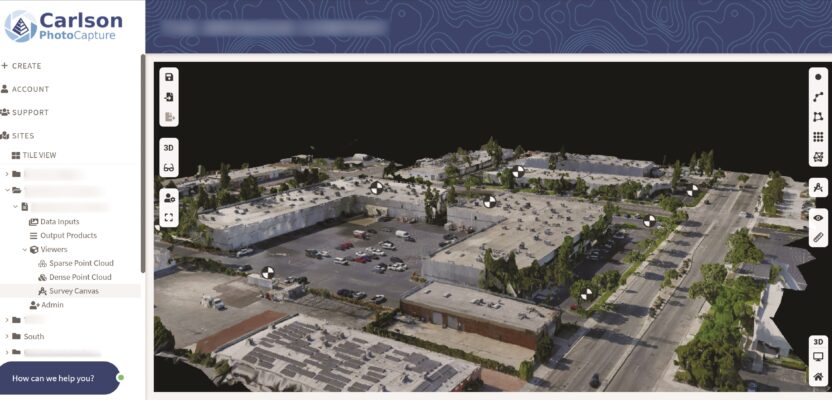
Our wide product range includes Carlson PhotoCapture for photogrammetry and UAV mapping, Carlson Precision 3D for engineering design in 3D, and solutions that include SurvCE and SurvPC data collection software, data collectors, GNSS receivers, robotic total stations, and laser scanners. From the day-to-day users of our solutions, we constantly receive invaluable feedback from throughout the land development industry that is used to ensure that our annual releases are always full of new innovative, customer-driven features.