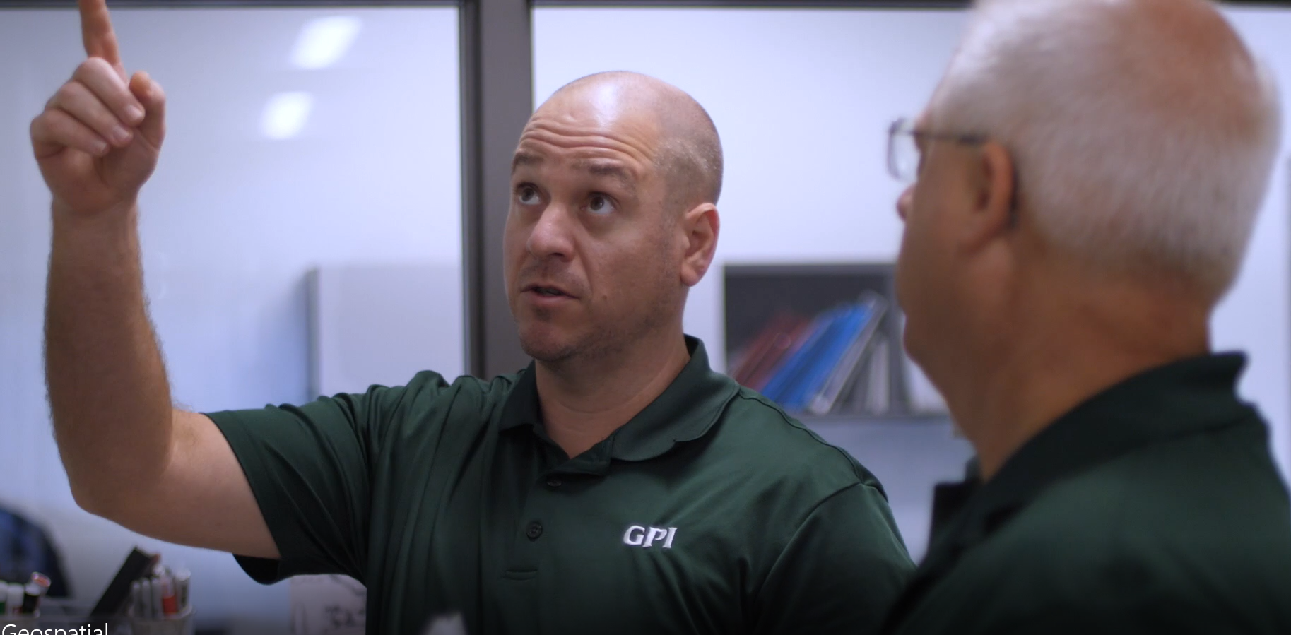
LaLuzerne is Strategic Growth Director, GPI Geospatial and
incoming president of the Florida Region of ASPRS
xyHt: How did you get started in the geospatial industry?
LaLuzerne: During my undergraduate studies at the University of Florida, I focused heavily on pre-engineering courses to prepare myself for civil engineering. I would always see a small advertisement in the student newspaper claiming 100 percent job placement for the survey program.
Talking to a close friend of mine, he convinced me that it was similar to civil engineering, but you get to spend time outside. This got me into the general surveying fielda. After working for a traditional survey firm for 10 years, I was forecasting that the industry would have a major transition to lidar and photogrammetry.
I wanted to learn more about this technology and how we could apply it in the transportation industry. The complexities of a trajectory-based system really piqued my interest and the accuracies still amaze me daily.
xyHt: Tell us a little about yourself and what you like to do when you’re not working in the geospatial field.
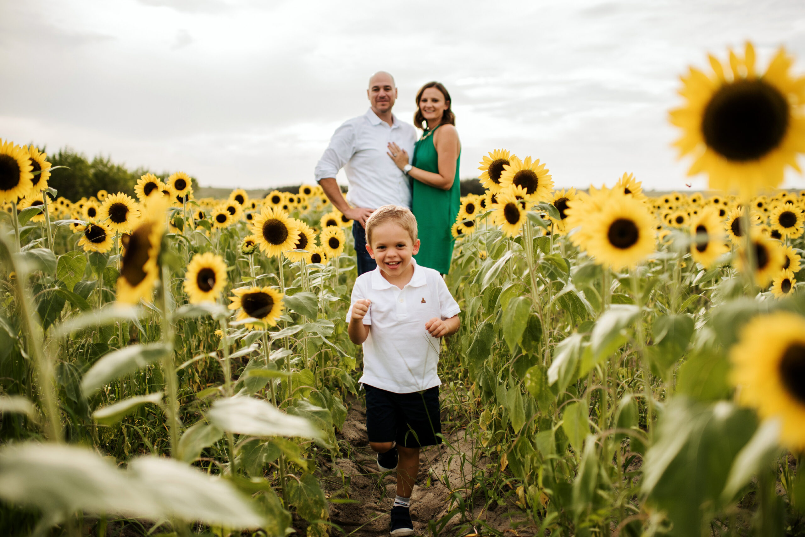
LaLuzerne: I was born and raised in Florida, but I absolutely love visiting cold places and spending time in the snow. I thoroughly enjoy being active outdoors. Hiking and camping in the mountains are some of my favorite pastimes. It has a calming effect on my mind.
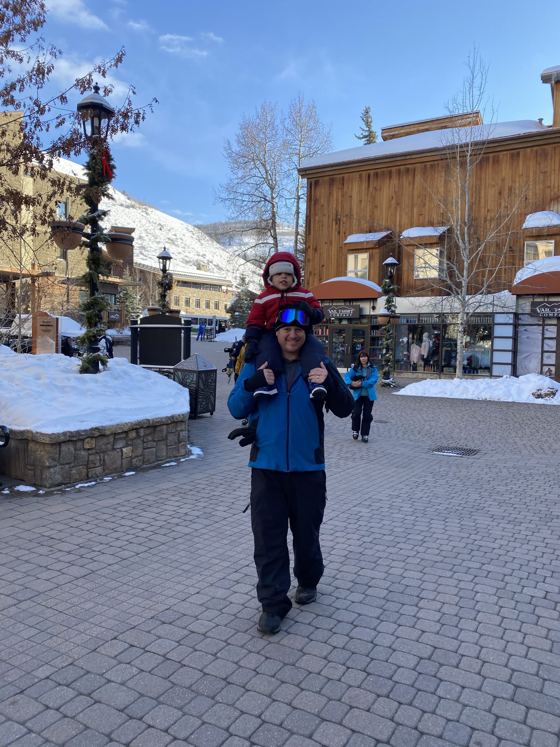
My wife and I are passionate about traveling and we try to take five or six trips per year. I find that exploring new places and disconnecting from the everyday hustle and bustle can be very rejuvenating.
xyHt: You work in many facets of the geospatial world. Is there a particular area that you particularly enjoy?
LaLuzerne: I really enjoy the application of all things geospatial within the transportation market. I find that roadway projects bring a lot of satisfaction as you get to watch the design and construction of a tangible object that has a significant positive impact on communities.
The growth and development of a city and creation of community through the interlacing of multimodal transportation facilities brings a tremendous sense of pride. Utilizing a multitude of geospatial technologies to solve a complex transportation design challenge is rewarding and keeps me coming back for more.
xyHt: As VP of the Florida region of ASPRS how are you trying to influence the profession in your state?
LaLuzerne: As I transition into the role of president next year, my goal is to see how we can increase the local awareness and brand of ASPRS. I hope to build upon all the previous success of the Florida region and have joint meetings with the state surveying society and GIS community.
I believe that we can create more value for the members by collaborating technology with the different professional societies while also investing further time and resources to educational outreach. The geospatial business is growing at an incredible pace, and we are responsible for building the future leadership of the industry.
xyHt: How is the collaboration with the Florida Department of Transportation (FDOT) to provide data integration techniques and developing new remote sensing data helping traffic in Florida?
LaLuzerne: Speed. Geospatial technology allows for a much more rapid process for the design and construction of roadways than traditional methods. We have worked directly with FDOT on multiple simultaneous lidar and imagery collection projects.
This data is used for testing 3D modeling, performing accuracy analysis, as well as pre- and post-event disaster management. The increase in the amount of data collected and processing speed directly affects the traveling public by reducing the duration of design and construction phases.
xyHt: As an executive in the industry, how important is it to find ways to attract a younger workforce from all walks of life? How do you think the industry can best do that?
LaLuzerne: Diversity has always been an important issue. Unfortunately, it has not received the support and recognition that it deserves. There is a huge opportunity for the geospatial industry to focus on diversity and inclusion, which should start at early education.
Consumer use of geospatial technology happens daily without most people knowing or understanding how it works. It is up to the industry leaders and organizations to help educate the general public about career opportunities.
We need to create a clear growth plan and career path that appeals to a wide range of backgrounds. Professional societies will have to partner with other groups to collaborate on ideas to generate a growth in diversity and provide more scholarships and opportunities than ever before. This will take a focused effort and I’m confident that people are willing to do this now more than ever.