





Top Stories
Get your top stories below

Sponsored Content – OneAtlas: Processing Satellite Imagery in the Cloud
Airbus Intelligence provides users with access to satellite imagery, innovative geospatial analytics, and industry-specific insights. Image data from the Airbus ...
The Ocean Mapping Imperative
Wind and solar-powered uncrewed surface vehicles offer a boost to global surveying efforts. Since 2017, the Seabed 2030 initiative has ...

xyHt Weekly News Recap: 10/7/2022
NSPS to Participate at WATERS Summit Iowa Couple Locked in Legal Battle to Halt Survey of Farm for Pipeline U.S ...
On the House
Free data make the mapping world go round Reliable geospatial data used to be hard to find and expensive. But ...
3D National Elevation Study Results are In
The 3D Nation Elevation Requirements and Benefits Study, led through a partnership between NOAA and USGS, with Dewberry as the ...

In Vegas, a Vision of the Future
If further proof is needed that in-person conferences are back and stronger than ever, just turn to last month’s Commercial ...
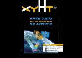
xyHt Digital Magazine: October Issue
xyHt’s October issue focuses on data acquisition, whether from GNSS, your smartphone or the increasingly available satellite data that is ...
xyHt Weekly News Recap: 09/30/2022
Teledyne and Seabed 2030 to Study Impacts of Volcanic Eruption in Tonga Greater St. Louis, Inc. Wins Esri Special Achievement ...
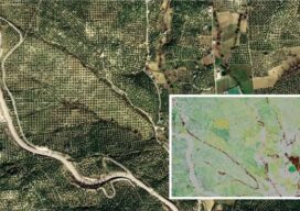
Sponsored Content: Pléiades Neo
The Satellites with the Highest Spatial Resolution are also the Most Accurate Spatial resolution grabs the headlines when a new ...
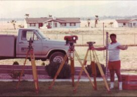
Boundaries: For the Love of Surveying
A memoir of the field, family, friends, fortitude—and fun Anthony “Tony” Vetturelli’s recently published memoir, Land Surveyor – Journey, Challenges ...
Touching Off a Stampede
Sponsored by Carlson Software In the old days of surveying, it was common practice to fill out a crew with ...
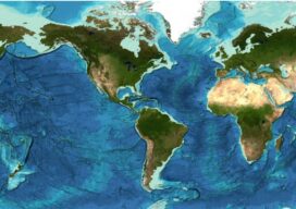
Staying Fluid: The Ocean Decade
More than 23 percent of the ocean seabed is now mapped Seabed 2030 is a partnership between the Nippon Foundation ...
