Planner and Project Manager I
Editor’s note: This past May, Ambrose Gmeiner completed his Professional Science Masters Degree from the University of Maine and was inducted into the Francis Crowe Society at the university’s College of Engineering. His final paper, “The Land Surveyor as a Project Lead and Providing Professional Testimony,” is the source for this series of articles on increasing the skills, strengths, and credentials of the professional land surveyor.
Professional land surveyors have long been in the public eye and have provided contributions to communities and society. Their experiences allow them to be experts, provide testimony, and lead a project to completion.
Henry David Thoreau said, “It’s not what you look at that matters, it’s what you see.” Perhaps Thoreau was referring to the astute ability of a land surveyor to comb through ancient records and combine mathematics with the intent of the real property conveyance. Possibly this quote relates to how diverse the skills of the land surveyor have become.
The professional land surveyor performs many roles in the course of preparing surveys for various industries, in both the public and private sectors. These varying roles include marketing, project management, project planning, financial and business report writing, human resources, and fleet maintenance. The land surveyor is also called upon to be an expert witness offering testimony on a project’s behalf related to boundary or property surveys.
Each of these roles can be examined separately so that the land surveyor can ensure he or she is making the most of the project lead position, possibly adding new credentials to his or her resume.
The Land Surveyor as a Planner
In dealing with subdivisions, planning and zoning issues, municipal and township boundaries, right of way, and easement issues, the professional land surveyor already acts, in a sense, as a planner. With the tools available from the various federal, state, and university websites, the land surveyor can compile land-based information to put together a concept plan and act as a planner for the land owner(s).
This ability is legally recognized in the exemption clause for New Jersey registered professional engineers, land surveyors, and architects. New Jersey licensed professional land surveyors can already provide planning services under the definition and regulations provided they don’t actually call themselves planners.
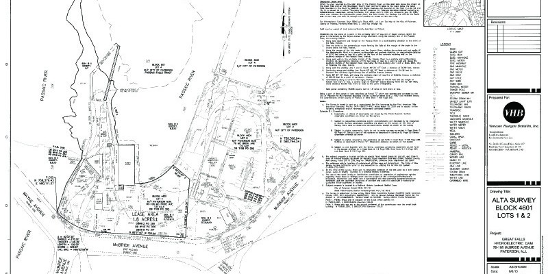
The professional planner has working knowledge of the Municipal Land Use Law, the County Planning Act, environmental regulations such as the Coastal Areas Facilities Act and Wetlands Act, the Farmlands Preservation Act, and the State Office of Planning regulations. When the professional land surveyor completes a survey for a development or farmland preservation, even an ALTA survey, he or she already touches on some of these conditions.
A survey may show the existing improvements or features, set backs, zoning information, building density, or impervious surface. If the project is along a water body, the survey will show tidelands information, as well as the mean high water mark for boundary issues. All of these features are under the purview of a planner, as well.
Why not add “certified planner” to your business offerings? According to the American Institute of Certified Planners:
To become certified, a planner must have a specified combination of relevant education and professional experience, must pass an examination that tests skills and knowledge, must pay an annual fee, and must be a member of the American Planning Association in good standing.
The American Institute of Certified Planners (AICP) certification exam is offered twice a year for two weeks, in May and November. To maintain membership in the AICP, a certified planner must earn a specified number of continuing education credit hours that include courses in planning law and ethics every two years.
The professional planner licensure is specific for New Jersey in that it allows for expert testimony at a planning and zoning board meeting, township, or municipal board meeting.
Issues that a planner testifies on the behalf of the client or project include utilities, planting or landscaping, access easements, soil and erosion control, storm water management, traffic impact, use or zoning variances, developer checklist, and existing conditions versus what the proposed conditions will be and how the proposed change will impact the neighborhood, the community, and the municipality’s master plan.
A surveyor in New Jersey, who is also an engineer and a planner, said of a planning and zoning board hearing he was part of: “I recall a restaurant that wanted outside seating. The plaintiff had an architect trying to testify before the Board on where the property line was for the outside seating. I had brought to the Board’s attention that an architect could not testify on the property location, but was overruled,” said Carl E. Peters, PE, PLS, PP.
A planner with a surveyor’s skills set would contribute greatly in situations like this, as Peters attempted.
The Land Surveyor as a Project Manager
The land surveyor also acts as project manager, overseeing many aspects of a surveying assignment. from initial job procurement, proposal writing, project kickoff, project completion, project quality assurance/quality control, deliverables, invoicing, and closeout. The land surveyor completes almost all these tasks on an array of ventures, large-scale and small-scale.
The qualification of project management professional would only add to the land surveyor credentials, as these tasks are routinely performed anyway. As with our founding fathers and other notables, land surveying is perhaps only one of the articles a land surveyor understands and performs well.
The land surveyor must follow standards of practice, gather records, and perform the tasks a prudent surveyor would follow in order to complete the assignment and derive an opinion. Organizing the team, scheduling the work, tracking the work, delegating tasks, and communication with the client or project owner all fall under project management. The land surveyor as a project manager is well organized and keeps the assignment on track, on schedule, and within the defined costs.
For a land surveyor to become a project management professional (PMP) as well, he or she must meet the requirements of the Project Management Institute. Prerequisites include a secondary degree, 7,500 hours leading and directing projects, and 35 hours of project management education; or a four-year degree, 4,500 hours leading and directing projects and 35 hours of project management education, plus passing the certification exam. To maintain your PMP, you must earn 60 professional development units every three years.
Credentials to Strengthen a Professional Land Surveyor
In our world of experts, someone with more credentials may give the edge needed in a hearing or decision. An informed opinion derived from the addition of knowledge and in-depth experience may easily sway a board or agency’s decision or outcome.
With these tools the land surveyor can refine proposals, develop better budgets, empower personnel, and track projects through the methods available from the PMP. Communication methods for clients, sub-consultants, and personnel will improve through real-time practical methods.
Look for the next article in this series about the land surveyor providing expert testimony.