Editor’s Note: We find ourselves in another government shutdown that has affected services from the National Geodetic Survey (NGS)—like the automated online post-processing user system (OPUS) that surveyors have become increasingly reliant on. Several readers asked us to re-post the following from the retired NGS chief geodetic surveyor Dave Doyle, as relevant as it was the last time around. We’ve also added tips and resource links at the end. We realize that the underlying elements of any such event can be a cause for heated disagreements, but this is not the place to vent those frustrations.
Please listen to Dave: he is wise and informed, and let’s all try to get through this as best we can.
Re-post from March 2015:
Maybe Joni Mitchell said it best in her song, Big Yellow Taxi, “You don’t know what you’ve got ‘til it’s gone.”
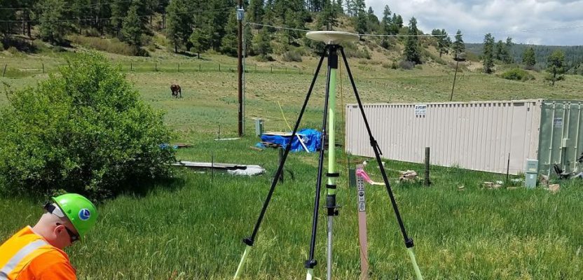
The federal shutdown has had [an] impact on many aspects of life and the economy in this country, not the least of which has been the surveying and mapping communities. [xyHt], the offices of the National Society of Professional Surveyors (NSPS), and I received numerous responses/complaints from surveyors across the country concerning the lack of access to information from a variety of federal agencies, especially from the National Geodetic Survey (NGS). Denial of access to the CORS network and OPUS, along with other products and services of the National Spatial Reference System (NSRS), had an immense impact on the activities of many users requiring high-accuracy positions from GPS observations.
Some complaints suggested that NGS should have just left the computers running and let everyone have access even if there was no one around to service them. Be assured the computers were not shut down (but the authorization to sufficiently staff and operate all the real-time web services, e.g. OPUS and data sheets, had not been given), and there was at least a skeleton staff at NGS and other offices to respond to safety-of-life and property issues. Also be assured that the staff at NGS (and the other federal employees) were anxious to be back at work performing the services and other functions that most of us believe are a critical part of our national infrastructure.
They are not working because, under the specifics of the order, they were prohibited by law from doing so.
From the Office of Personnel Management directive [from the 2015 shutdown], “A shutdown furlough occurs when there is a lapse in appropriations, and can occur at the beginning of a fiscal year, if no funds have been appropriated for that year, or upon expiration of a continuing resolution, if a new continuing resolution or appropriations law is not passed. In a shutdown furlough, an affected agency would have to shut down any activities funded by annual appropriations that are not exempted by law. Typically, an agency will have very little to no lead time to plan and implement a shutdown furlough.”
It is important to understand that the network of 2000+ CORS is only managed by NGS. The agency owns around 60 of them; the rest come from 200+ federal, state, and local government agencies, academia, and the private sector. Data for most of these stations are available by directly contacting the operator. Unfortunately, most users of the CORS network do not know who the operators are.
Now that this shutdown is over and the network is again available [note that the 2019 shutdown is not over], users should take time to log the contact information for site operators in areas where they perform the most work. In addition, contact your congressional district representative to let him or her know how denial of service has affected your business and your community.
Better yet [you could join] other members of NSPS in the halls of Congress on [the next] Capitol Hill Day (look online for “NSPS Hill Day”) where we intend to meet with our Congressmen and explain why what surveyors do and what NGS does is essential to day-to-day life in America. It’s time they hear it from us loud and clear.
—Dave
Tips and alternate resources:
- Brush up on your post-processing. While the NGS site is down you can often get base observation files from your local/regional RTN, or Earthscope PBO rinex files (mostly western states, and you will need to decompress archive files) and/or you can do some good old static campaigns with multiple receivers/antennas. Hey, those were (sometimes) fun, and you can keep your static post-processing skills fresh.
- Datasheets. As of the writing of this post some NGS FTP servers and folks report they could still access datasheets, and you can search for them by zipcode or PID via a handy geocaching site.
- Check online surveyor forums like RPLS Today. Some nice folks have been posting links to where you can find copies of tools like HTDP and recommendations for alternate resources.
- Other online post processing services. Like: AUSPOS, JPL/NASA’s APP, Natural Resources Canada’s CSRS-PPP, DPOS, and RTX to name a few. But note: there may be differences between what you would get with OPUS and some of these online services. For instance, with the Precise Point Positioning (PPP) services (that mostly report back only in global references) you will typically need to do more work to get the same NASD83-2011 and state plane values you are used to getting from OPUS. One nice bonus with many of these alternate services is that they will utilize other constellations (OPUS, when available, only utilizes U.S. GPS satellite data, even if some of the CORS stations near you is tracking additional constellations. And you can check with your local/regional RTN to see if they are running on line post-processing services.
- Keep calm, nothing lasts forever, and maybe we learn from each of these incidents how to weather the next ones.