Tag Archives: uav
Rosalie Bartlett: Marketing Manager at Kespry
Women in Unmanned Systems Editor’s Note: In our ongoing effort to promote geospatial professions, we’re asking dynamic leaders what attracted them to UAS and other geospatial fields as well as advice they might have for young people considering choosing related career paths. I’ve been fascinated by flight ever since I was little. If I were...
Dyan Gibbens: Founder and CEO of Trumbull Unmanned
Women in Unmanned Systems Editor’s Note: In our ongoing effort to promote geospatial professions, we’re asking dynamic leaders what attracted them to UAS and other geospatial fields as well as advice they might have for young people considering choosing related career paths. From an early age, I knew I would pursue some sort of career...

xyHt News Links: 10/7/16
GeoSLAM (handheld laser scanning) and Blackdog Robotics (unmanned robotic vehicles)partner for remote surveying in hazardous environments/uneven terrain TerrAvion Launches First Aerial Imaging Solution Specifically Designed for Rangeland Trimble Changes Name to Reflect Company’s Technology Evolution Teledyne Optech to introduce new static and mobile surveying solutions at INTERGEO 2016 senseFly to Unveil new RTK/PPK-Ready, Large Coverage Mapping Drone at INTERGEO 2016...
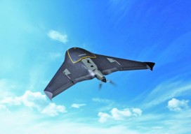
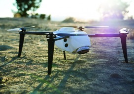
The UAS Platform, and How to Pick One
Secrets to Successful Selection Think UAS platform selection is cut and dried? Well, did you know that fixed-wing UAS, not multirotor, are the best fit for a specific (and growing) inspections market? Or that by choosing an amped-up multirotor UAS, your fee schedule could also get amped-up? Now that FAA Rule 107 is the law...
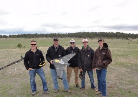
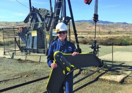
UAV Fly-off
Colorado businesses and non-profits teamed to evaluate UAV technology and to network at this fun event. This spring, a cooperative effort between civil engineering firm CH2M, Juniper Unmanned, the Boy Scouts of America, and local UAS businesses yielded a fun-filled fly-off and network event southeast of Denver, Colorado. Ground Work and Ground Control Alexander Mahrou...
xyHt News Links: 7/15/16
Sentera launches fixed-wing Phoenix 2 imaging UAV BLM’s new GNSS protocols may set undesirable precedent NEW Nautiz X2: comfortable, compact and rugged Google to provide raw GNSS measurements HYPACK 2017 – Registration Is Now Open NGRAIN Announces New App Enabling Deployment of Industrial 3D Content Creation – Epson Smart Glasses DJI Introduces First Integrated Aerial...