How a prominent manufacturer of mapping airborne sensors and solutions has partnered with customers to expand its global online content service.
At HxGN LIVE 2015, the annual exhibition and conference for Hexagon (parent company of Leica Geosystems), CEO and president Ola Rollén spoke about a new area of focus for the company: content services, or content as a service (CaaS). Rollén also announced that the first facet of Hexagonユs content services would be aerial imagery.
This new service, delivering high-resolution orthophotography via the web, is known as the HxGN Imagery Program (HxIP), to be followed by the lidar-based HxGN Elevation Program (HxEP). Together, these two programs now make up the HxGN Content Program.
Such content services are growing, becoming both popular and preferred for many geospatial practitioners and enterprises. Content services are a cost-effective way to acquire foundational basemap elements for engineering projects, GIS analyses, and more.
In a generic sense, CaaS for the geospatial industry works like this:
- Service providers acquire geospatial base layer data and set up an access portal for static or streamed data, as individual purchases or via subscriptions.
- Users access online libraries of data (covering global or broad geographic areas); choose areas of interest; select from current or past iterations of data, if available; choose options like resolution and format; and place an order.
- Orders are fulfilled either as direct download orders or by populating and updating the base layers of the geospatial applications via software data-streaming extensions.
There are many approaches to CaaS; the number of vendors is growing, and some are tailored for specific markets (e.g. aerial images for the insurance industry). xyHt will examine different CaaS models in subsequent issues. We begin with the model from Hexagon.
While a relatively new entrant into CaaS, HxIP does represent a new type of model, specifically in that Hexagon is a developer and manufacturer of the mapping airborne sensors hardware used in acquisition. The company is also a provider of end-user geospatial software that can directly use such data (though the content can be used by a majority of other commercial and open source geospatial software).
Jumping into CaaS in this manner is a move towards complete data lifecycles, a theme Roll始 has touched on in past HxGN LIVE conference keynotes.
HxIPユs Roots
A year prior to the HxGN LIVE 2015 announcement, Hexagon had acquired North West Geomatics Ltd. (NWG), a Canadian firm with 50 years of aerial surveying and mapping experience serving international clients. NWG was also a pioneer in CaaS, with nearly a decade of experience delivering image products online. To do this, NWG had developed their own CaaS service known as Valtus Imagery Services.
Geospatial practitioners might have only recently heard of HxIP, but its roots are not quite so new. To find out more about it, we interviewed John Welter, president of NWG, Hexagon Geosystemsユ Content & Engineering Services at Leica Geosystems Geospatial Solutions Division.

John Welter, president of NWG, Hexagon Geosystemsユ Content & Engineering Services at Leica Geosystems Geospatial Solutions Division.
Welter told us that NWG had developed the capability and processes for mass acquisition of aerial imagery along with a program for managing these large datasets and offering it as content via the web.
The same processes and program are being applied on the HxIP datasets, flown by a select group of prominent aerial survey firms, covering much of the U.S., Western Europe, and populated areas of Canada.
メOur internally developed core technology is used to deliver the [HxIP] data,モ said Welter. メThis is a very simple process for the user. You connect to our streaming service from your favorite applications or our web portal; navigate and zoom in on our global coverage map, like you would for other web maps like Google Maps; and you see the coverage areas and available data products.モ
For the 30cm resolution Wide Area Coverage (WAC), all of the continental U.S., Hawaii, U.S. and British Virgin Islands, and parts of Alaska add up to about 8 million square kilometers flown by the end of 2017. For the 15cm resolution Urban Area Coverage (UAC), 100 cities with a population of more than 50,000 were added in 2017 for a total of about 350 urban areas.
Welter noted that in 2017 there were 19 complete U.S. states refreshed, on top of states that had already been captured but not yet refreshed. Similar WAC and UAC coverages for Europe have been completed, with 650,000 square kilometers added in 2017, bringing the total in Europe to over 3 million square kilometers.
A key element of these programs is the commitment to keeping imagery current. New flights are on a schedule that keep the content valuable for planning, growth, and resource management.
メFor the UAC, the update will be from 12 to 24 months, depending on the city size,モ said Welter. メOf course, cities like Los Angeles and New York would be flown more frequently than others. For the WAC program, we refresh every three years with a maximum of four years if there are weather challenges.モ
There are services that offer higher resolution and more frequent iterations, but unlike some of these services, all HxIP images are precisely geo-registered orthometric. Frequency, resolution, and products offered may change as the program and demand grows.
The majority of orders are by streaming services, but customers can obtain, via a web-based order desk, stereo pairs (for further photogrammetric processing) and DSM and DEM elevation products.
Partnering with Customers
メThe imagery is collected by a network of Hexagon customers who have become partners to fulfill these programs; it is an ecosystem,モ says Welter. メ[We] brought in customers in North America and Europe who were using Hexagon technology. The sensors used for the imagery program are currently the Leica ADS100HR [Airborne Digital System] push-broom sensor on the WAC areas and the Leica DMC III [digital mapping camera] used on some UAC areas.モ
SmartNET, another Hexagon service, also has a hand in the HxIP program by providing GPS data to assist in the GPS post processing.
Program Standards
The data must be acquired and processed according to the specifications and standards of the program, which are aligned to best industry practices.
メAll data goes through an independent and consistent QA and QC process to ensure consistency in the product quality and accuracy,モ said Welter. メThe partners doing acquisition still maintain their own customers and markets; they may still fly for county ヤxyzユ or whoever, but when tasked to fly for the program, it is to the program standards and specifications.モ
The stringent process also has hardware-specific elements. Welter noted that there are features of (for instance) the ADS100HR that were developed for the content program and are only switched on for HxIP program flights.
Flights, at this time, are predominantly during leaf-on seasons. Several large customers and the US Department of Agriculture drive a lot of the scheduling and requirements.
メFlights are not done piecemeal,モ said Welter. メWe fly entire states under very short time schedules to maintain ground-condition consistency, so the radiometry is consistent.モ
In addition to NWG, the list of partner firms flying for the program will be familiar to geospatial practitioners: large, well established, and reputable firms. In North America this includes Quantum Spatial, Surdex Corporation, and Fugro Geospatial. The Europe team includes COWI and AeroData (Pasco).
メAll the processing is done by professional firms with experience and significant past performance,モ said Welter. メIndependent quality checks, to ensure accuracy specifications, are met, and theyユre looking for image smears, seam lines, and tonal balance. We do not just throw it in a black box and take what comes out. It is produced by the same photogrammetric methods and care you would expect if you contracted any of these firms to do a custom acquisition with tight specs.モ
Ground control is established by surveyors, and the default reference system is UTM for the image data sets. Re-projections are also accommodated through the streaming service. But what exactly is this streaming service?
Streaming Service
Welter explained, メIt is not like the physical download of pixels, bringing them into your enterprise, hosting on internal IT resources, and then into your applications. The difference is that through open-standard OGC extensions developed for your applications, like [CAD and GIS], you choose the area in your software, and the image for that area is streamed into your application.
メSpeed depends on your internet connection and workstation processing power, just like watching a movie on Netflix or Hulu or [listening to] a song off Spotify or Apple Music. It is not live from the aircraft, but is as up to date as the latest acquisition, and if there is new acquisition during the course of your subscription period, the newest images will become available.モ
The streaming service is supported in many software applications, open standards such as OGC, WMS, and WMTS, Esri ArcGIS REST and SOAP protocols, and more. Any application that supports WMS and WMTS protocols of the Open Geospatial Consortium (OGC) can stream HxIP imagery. For instance, the service is supported in Autodesk Map 3D and Civil 3D, ERDAS Imagine, MicroStation, ArcGIS, and more.
Welter added, メThe streaming service comes standard, as a background layer for Leica Zeno 20 handhelds and available in the Leica Infinity survey software.モ
One can imagine just how massive the datasets must be for the growing global coverage, but the system, hosted on a combination of Amazon Web Services and private cloud located at a collocation facility, is able to manage streaming services with response time under one-third of a second and can deliver static orders in 5 to10 minutes, depending on the order size.
Pricing is straightforward. Licensing is available for single users or bundles to cover small to large enterprise customers. Streaming subscription is all-you-can-eat for the period of the subscription. Individual orders have a $65 USD minimum.
Another benefit of the streaming nature is that the service can be turned on instantly; only a user name and password is required.
Anyone who has contracted aerial images in the past might see why CaaS is appealing for many uses.
Licensing
Licensing of the off-the-shelf and streaming images is typically limited to internal use within your organization. Welter said that it sometimes makes sense for the client to license the images for a specific project and share that with the contractor and subcontractors, and that option is also available.
There are special licensing models for customers who are more like OEM clients: system integrators or for static backdrops. There are also license extensions for firms that develop many types of value-added products.
An example of another type of custom licensing is the state of Washington. メState pricing is different. We give them streaming service and physical delivery as well as license extension to share with state agencies, participating counties, and municipalities: those who contributed to the program,モ said Welter.
HxEP
Hexagon is already underway to roll out the next type of content to deliver as a service: the Hexagon Elevation Program. HxEP will offer lidar, acquired for broad geographic areas, in the same manner as the HxIP.
In 2016, Hexagon acquired Sigma Space, a 3D mapping company and pioneer of single-photon lidar technology (read more about single-photon lidar in our December 2016 feature: goo.gl/MkbjPw). The Leica SPL100 airborne lidar system was released in 2017, and early acquisitions by aerial mapping firms (and customers) have begun in a pilot of a partnership model similar to HxIP.
Welter said that pilot areas for HxEP delivery should begin in 2018, but there have been challenges. Only recently have open standards for static and streaming point-cloud data been resolved by bodies like the OGC, and then there is the problem of the size of datasets.
メLidar is such a heavy dataset,モ said Welter. メSo, there needs to be dynamic resolution control, keyed-on zoom level and preview presets, with options for after-hours and off-peak downloads.モ
What could be next? Both the imagery and elevation programs benefit from tightly coupled hardware and software systems for wide-area mapping and a community of key customers of such systems. Could this model be applied to other sensors, like the Leica CityMapper combined image and lidar system? Or mobile mapping, ground penetrating radar, or the data generated by respective customers of such systems?
Licensing and data management for those would definitely pose different challenges than airborne imaging and lidar, but we can be sure that creative and talented people are already working on this.
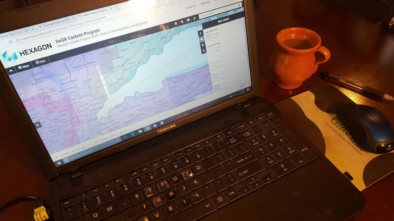
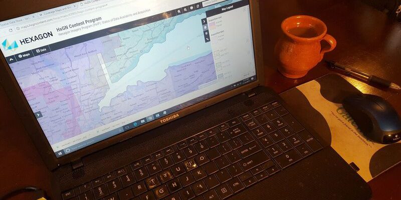
Sample of HxIP 15cm-accuracy urban area coverage and in the format choice of color infrared