
Blog

My First Trip to the Esri UC
No matter what flavor of GIS you roll, there is no ignoring the annual Esri user conference in San Diego. The highlight is the opening plenary session which is always given by the (co) founder of Esri, none other than Jack Dangermond. To discuss this fully, we have to start at the beginning, which was...
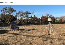
Dynamic Environment Data Collection
Swift Navigation’s Piksi® Multi is a multi-band, multi-constellation GNSS receiver that supports GPS L1/L2, GLONASS G1/G2, BeiDou B1/B2 and Galileo E1/E5b for RTK measurements and positioning and SBAS for robust sub-meter positioning in non-RTK mode. Critical to the accuracy of—and continuous improvements to—Swift’s receivers is ongoing testing in varying dynamic environments and conditions. This testing...

Weekly xyHt News Links: 08/03/2018
Kespry Announces First Drone-Based High-Resolution Thermal Inspection Capabilities for Commercial Property and Industrial Facilities 3D Laser Mapping & GeoSLAM Global Merger Announced ENGINEERSUPPLY AND LEICA GEOSYSTEMS MACHINE CONTROL EXPAND SALES Space Flight Laboratory to Highlight Autonomous Formation Flight Technology at Small Satellite Conference University of Tennessee, Knoxville Launches Concept3D Interactive Map and Virtual Tour Platform...
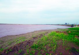
The Data of River Dynamics
Using GIS tools and readily accessible satellite data to study rapid change in rivers. Editor’s note: The dynamics of rivers can range from relatively stable to rapidly shifting, the latter especially in flood-prone regions exacerbated by a global increase in extreme weather events. The impacts are environmental, but also economic, social, and cadastral. Surveyors, for...
Lost My Rodman
On June 25th, I lost my rodman, who was also my brother, best friend, and only sibling, at the much-too-young age of 57. He went to sleep and didn’t wake up. Turns out he had been ignoring symptoms of heart trouble for some time, and, unfortunately, it was a fatal mistake. My weeks since have...
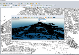
Global Mapper Review
Although I’ve been using GIS for more years than I can remember, until xyHt took me out to InterGeo I had never heard of Global Mapper. I thought I’d used every GIS there was; I’ve even used some that only a select few have ever heard of (StruMap anyone?). The market is saturated with GIS, and...
Advertisement