In parts of the world where both man-made and natural catastrophes frequently occur, how are geospatial technologies being used? And for those of us whose jobs are to create maps of construction sites and other built-up areas, how can we responsibly use the same technology to monitor destruction and wreckage?
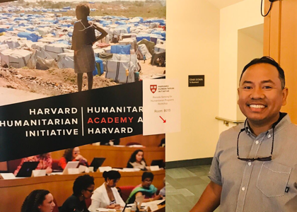
I pondered these tough questions as I attended a week-long course at Harvard University last month on the use of remote sensing and drones in humanitarian operations. The course was organized by the Harvard Humanitarian Initiative, with its Signal Program team at the helm.
Geo Tech for Humanitarian Crises
According to the United Nations Office for Coordination of Humanitarian Affairs (UNOCHA), the humanitarian economy is now worth more than $20 billion. Demand for geospatial data by aid agencies is increasing as maps become more important to support their work. And if it is any indication that the geospatial business community has noticed this upward trend, humanitarian mapping has been picked up as a keynote topic in important trade events such as GEOINT in the U.S. and GEO Business in the U.K.
Throughout the five-day course at Harvard, experts from private geospatial companies, international NGOs, and academic institutions talked about how they are harnessing GIS, satellite imagery, and UAVs to deal with various humanitarian challenges across the globe. Interesting case studies of wars, famine, storms, and earthquakes were presented, mostly from places you only read about in the news, and all of them vividly supported by satellite images. The ability to quickly pinpoint the location of flooded houses from a bunch of pixels that make up a satellite image is very important, especially when lives are at stake.
This is the reason why very high (sub-meter) resolution satellite images, especially those provided by Maxar Technologies, the US-based space technology company that owns DigitalGlobe, remain popular among humanitarian agencies. Stephen Wood, senior analyst for the company, gave an interesting presentation about the use of satellite imagery in humanitarian cases and the work that they do with Open Data Program.
Launched in 2017, the program publicly releases high-resolution imagery for major disaster events to support rapid response and recovery. You can view for free several DigitalGlobe images of the Midwest area before, during, and after the floods that occurred this spring.
Rescue UAVs
Lately however, drones are increasingly taking over the role of satellites. Drones have a distinct advantage in humanitarian situations: they can be deployed in a snap, and the aerial images that they capture can be quickly processed by specialists, thus allowing faster decision-making on the ground. They are also being used to deliver aid and vaccines in places that are inaccessible to vehicles, especially when floods render roads impassable.
Yet drones are expensive, especially in developing countries. And their prohibitive cost makes it even less appealing to test if they can fly in challenging humanitarian situations.
But some organizations just don’t give up easily. Take what Jaime Archundia, Drones Global Lead at UNICEF, shared with us during the course on how this problem was being solved through UNICEF’s Innovation Fund: they provide local startups with capital to construct their own drones, while at the same time providing areas that they call drone corridors, or segregated airspaces where the newly created drones can be safely tested to fly for humanitarian and development uses.
Lessons
All this hi-tech talk about crisis cartography helps bring to mind two main lessons. The first is pretty straightforward: it is clearly better to remotely monitor humanitarian situations high up in the sky than to send people to observe critical events happening on the ground. In places where safety is a concern, satellites and drones can surely help us get the mapping job done unharmed.
The second lesson is a challenge to be more mindful about how we make maps during times of crisis. The term caretography was coined by mapmaker David Garcia to underscore the importance of critical and careful cartographic representation of communities affected by catastrophic events, especially when maps are used to seek aid and to protect people. Avoiding further exposure to risk is as important for us as it is for the community that we are mapping.
The geospatial tools to create humanitarian maps are already available. Now all we need is the will to care.
Happy mapping!

 This article appeared in xyHt‘s e-newsletter, Pangaea. We email it twice a month, and it covers a variety of unusual geospatial topics in a conversational tone. You’re welcome to subscribe to the e-newsletter here. (You’ll also receive the once-monthly Field Notes newsletter with your subscription.)