
Category Archives: Spatial IT/GIS
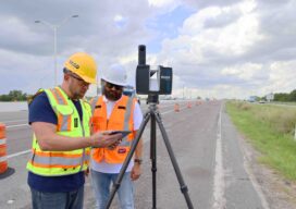
Measuring Change at Scale: FARO’s Mass-Data Vision for Digital Reality
At INTERGEO 2025 in Frankfurt, FARO®, a business of AMETEK®, Inc. wasn’t just celebrating a milestone, it was making a case for how 20 years of terrestrial laser scanning experience feeds directly into the next wave of GIS: mass data, AI-ready point clouds and digital twins that help societies manage infrastructure at scale. “All of...
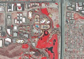
Vexcel: How a Camera Company Turned Itself into a Global Data Engine
From film scanners to hybrid camera-LiDAR systems and a 43-country data program, Vexcel’s CEO Alexander Wiechert described the journey leading to the current product line in a conversation with xyHt at INTERGEO in Frankfurt. By Richard Thomas, Executive Editor Walking past the Vexcel booth at INTERGEO 2025, you see Merlin, Osprey 4.2, Condor and Dragon 4.2 front...

The Trimble Line: Accuracy, Trust and the Future of Connected Work
For more than two decades, Trimble Applanix has shaped the practice of mobile mapping and survey-grade positioning in air, land and marine domains. Today, it sits at the center of Trimble’s broader move toward connected workflows, subscription-based performance, and end-to-end accuracy. Few people have watched that evolution more closely than Steve Woolven, who has overseen Trimble...
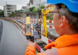
Precision or Nothing: The Millimeter-Level Future of Geomatics
By any measure, INTERGEO 2025 marks a turning point for Topcon. But for CEO Ivan Di Federico, the momentum behind this shift started well before the show floor opened. It began last November, when he outlined what would become Topcon 2.0—a reset of the company’s identity that re-centers geomatics as a foundational discipline and sets a...

Oriented Imagery in GIS: Unlocking Value From Unstructured Data
In an era defined by explosive data growth and rapidly expanding drone-based sensing, the geospatial community faces a new frontier: unlocking the value of unstructured imagery. Chad Lopez, a solutions engineer with Esri’s Imagery and Remote Sensing team, is at the forefront of this effort. In a recent interview, Lopez discussed how oriented imagery—raw photos...

The Cloud, The Edge, and the Beast
How are various platforms for processing and managing reality capture data best leveraged? The answer is a moving target, constantly evolving… for the better. There are sometimes strong views on reality capture (RC) processing approaches, particularly between cloud-based and local approaches. Recently, an acquaintance, a respected practitioner of high-profile RC projects, told me that he...