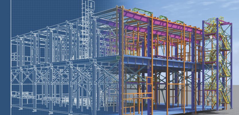
In the last two decades, we have seen technology make its way first into the construction project office through construction management web applications, then into pre-construction through BIM and VDC (virtual design and construction), and finally into the field through mobile applications that are often intended to replace paper plans and specifications.
With communications, business workflows, and design artifacts created, curated, and consumed electronically, many have heralded the age of “digital construction” – an age when workers, material, and equipment are managed and represented as information more importantly than as their physical selves.
No doubt there is much to be gained—from better decision support through machine learning to enhanced worker safety and productivity and automated robotic construction on site. However, no matter how digital the planning process becomes, construction inherently has a physical nature to it, whether it’s a new build or a renovation.
In new construction, the new elements must be placed precisely where specified on site. In a renovation, the existing conditions must be carefully taken into account when designing and building the updated works. Until technology is applied that precisely connects the digital construction information to the physical world for which it is intended, the reality of construction itself will remain a separate process.
In 2016, research company McKinsey noted that one of the key elements to unlocking the future opportunity in construction is “higher-definition surveying and geolocation.” Such technology has long been the domain of chartered survey professionals, but advances in hardware compactness, ease of use of hardware and software, and connectivity to construction project-management platforms are bringing this vision to fruition. These can be categorized broadly as “reality to digital” and “digital to reality” solutions.
This process contains productivity-sapping gaps where design information produced electronically is represented for physical construction purposes as drawings, with a human often having to interpret manually the exact on-site location where the work is to be placed. Today’s software automatically receives the latest digital design information and helps users locate it physically on site without manual interpretation, such as Leica Geosystems’ field software through direct integrations with Procore and Autodesk BIM 360.
To bring together the needed digital information with the reality of a construction site, partnerships among technology leaders are necessary. Through partnerships, rich 3D data produced from accurate and precise instruments can be viewed and explored in sophisticated software and platforms by users of construction and facility management solutions.
For example, a digital Request for Information (RFI) from the construction firm to the architect asking how to solve a challenge fitting into the existing conditions becomes far more solvable without a trip to the jobsite when the captured point clouds are linked to the RFI as a viewable, measurable digital form of reality.
Recognizing the need to bring digitization and reality together through partnerships is the key to enabling digital construction to “get real” and unlock a safer, higher-quality and more productive future for the industry.