Having focused on the education side of geography and geospatial technology for much of my career, I’m focusing this discussion on mentoring in formal and informal settings: schools, after-school clubs, libraries, museums, community and technical colleges, universities, and adult learning venues.
As geotechnologies’ needs, audiences, and expectations have evolved, mentoring has evolved, and (I would argue) needs to evolve to bring us to our goal: the engagement of broad sectors of society with spatial thinking and using surveying, GNSS, GIS, remote sensing, and web mapping tools to make wise decisions about the future.
I lived through the days when the source of help in geotechnology was mainly four things:
- Calling someone,
- Having a face-to-face meeting,
- Attending a conference, or,
- Physically walking to an office where the software technical manuals were stored so you could look up what you needed, write notes, and return to your workstation.
Today, we still have conferences and face-to-face interaction, but we also have at our fingertips a plethora of MOOCs and other courses, live and recorded webinars, lessons, professional development pathways, videos, graphics-laden help files accessible from any device, online forums such as LinkedIn, Esri GeoNet, listservs, and other resources, with an expanded set of global experts whom we can rely on.
Have these additional resources led to a decrease in the need for mentors?
Perhaps.
In the same way as I don’t need to call my local home repair person as often as I did before thousands of sink repair videos were available to me on YouTube, I don’t need to call someone to find out how to georeference a scanned historical map.
Many people in the geospatial technology field have been self-taught; even when they secure a job in an organization, much of their continued professional development is on their own using these digital resources.
For many, even their degrees have all been online.
Personal Networks Still Matter
Running counter to these trends is the increasing specialization of geotechnologies to hundreds of disciplines and thousands of problems that were previously beyond the scope of spatial analysis.
Because of specialization, there remains a fairly high likelihood that the problem you are having today is not in any online forum, chat, or help document.
Therefore, your network of live, actual human beings that you can email, call, or text is as important as ever.
For this reason, I tell students and young professionals that focusing on developing their professional network is key to their success.
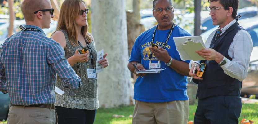
Along these lines, meeting with these professionals remains important.
Contrary to articles in the 1990s that forecast the demise of face-to-face meetings and conferences, professional development through events is very popular, ranging from international events to the rise of the local “meetup” movement.
Your network of live, actual human beings that you can email, call, or text is as important as ever.
The conversations that I have had at such events as the Esri User Conference, state GIS conferences, the American Association of Geographers, the International Cartographic Association, and conferences in many countries around the world have led to projects with colleagues that would not have occurred without those face-to-face meetings, resulting in geospatial curriculum, research articles, and even entire books.
These connections can be virtual, as well, which often works its way into daily work.
For example, in work with web mapping; I tend to use maps and layers generated by people I trust and regard highly, and that connection stems from my prior work with their data and becoming familiar with their “digital persona.”
Despite the changes in geotechnology over the years, one thing has remained constant: the high value placed on sharing expertise, data, models, and connections with each other.
I have not encountered another community as truly generous as the geospatial community. This has resulted in a high degree of sharing at all levels and at least a willingness to serve as a mentor to others.
Career Mentoring
When I arrived at the USGS as a geographer in the national mapping program, younger surveyors and mapping technicians would be sent out in a group with more experienced field staff. The same thing occurred in the office via our Cartographer Development Program.
I suspect that there is still some one-on-one, on-the-job mentoring in the office and in the field, though I do not observe it as often now as I did a few decades ago. I rely on my colleagues to comment on how common mentoring is nowadays. In my own experience in academia, government, and private industry, I have had very little formal mentoring, unfortunately.
Such a thing would have been extremely helpful along my journey.
As it was, I did my best on my own to find people who were willing to answer my many questions.
I do strongly recommend to organizations that they establish a mentoring program, not only for new employees, but also for employees who have been in an organization for a longer period. In fact, I believe organizations could more easily thrive and achieve their missions more efficiently and with less productivity lost through workplace stress if they established mentoring programs for all employees. Mentoring is especially important in a field such as geotechnology, where the tools, expectations, audiences, workflows, and background of employees and customers/clients are in a continual state of flux.
Mentoring in Education
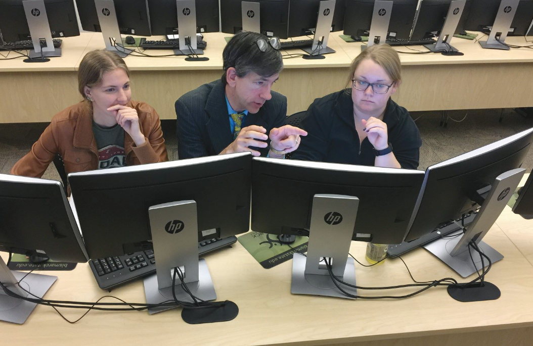
One-on-one mentoring has a long history in geospatial education.ÊBecause I am active on social media, listing my contact information on career boards such as the AAG Ask-A-Geographer site, I respond to a daily flood of calls and emails from students, faculty, and GIS professionals at all levels. Most of the mentoring I provide, therefore, is online and is over and done in a few exchanges, with some follow-ups weeks or even, sometimes, years later.
I am involved in a few programs that have connected me with students on a regular basis. Through Nepris, for example, I teach virtually on topics that are in my area of expertise, such as population, natural hazards, hydrology, land use, GIS, and urban forms. A colleague of mine set up a similar program called Mentored Pathways, and I have had the pleasure of mentoring several secondary school students through it.
The professionals in these programs are all vetted and ensured to be safe people to be working with students, and the interaction in these programs focused on students under 18 years of age is passed through the teacher and program coordinator.
On a face-to-face level, during my career I have visited nearly 300 local schools over 15 years in the Denver metropolitan area through a Visiting Scientist Program.
These experiences keep me grounded in my educational work to what faculty and students face and allow a good testing ground for the hands-on activities I create.
AAG and Esri collaborate to host the Geo-Mentors program to connect teachers and GIS professionals to foster the use of GIS technology and spatial thinking in primary and secondary schools.
Some mentoring to schools and universities also occurs through the long-running GIS Corps program from URISA.
These programs have influenced hundreds of educators and thousands of students over the years.
Geomentors help gather geospatial data for educators, assist with field trip planning, assist with geocoding or setting up an ArcGIS Online organization, and give presentations focused on careers.
Raise GIS Awareness
The challenge facing these programs is not the lack of professionals willing to mentor educators, understandable given my earlier statements about the long history of the geospatial community to share and “give back.”
Rather, the challenge is the relative lack of educators registering on sites such as this and saying, “Yes, I could use some help.”
Why?
Educators are certainly as busy as GIS professionals, and implementing GIS in schools is no small task, but I think the reason is because the value that geospatial technology brings to mathematics, science, geography, computer science, history, and other areas of education is still relatively unknown.
Raising awareness of this value is therefore a chief goal of my education industry team, and I know it is a passion shared by many in government, industry, academia, and nonprofit organizations.
I encourage you to seek opportunities to mentor people within your organization and the broader geospatial and educational community beyond it. The health and progress of our profession in part hinges upon it.