Throughout January xyHt.com will feature the young geospatial professionals who are making a name for themselves in everything from surveying to geographic information systems. xyHt featured all of them in the January issue. Here we will spotlight one each day.
Name: Ethan Schreuder
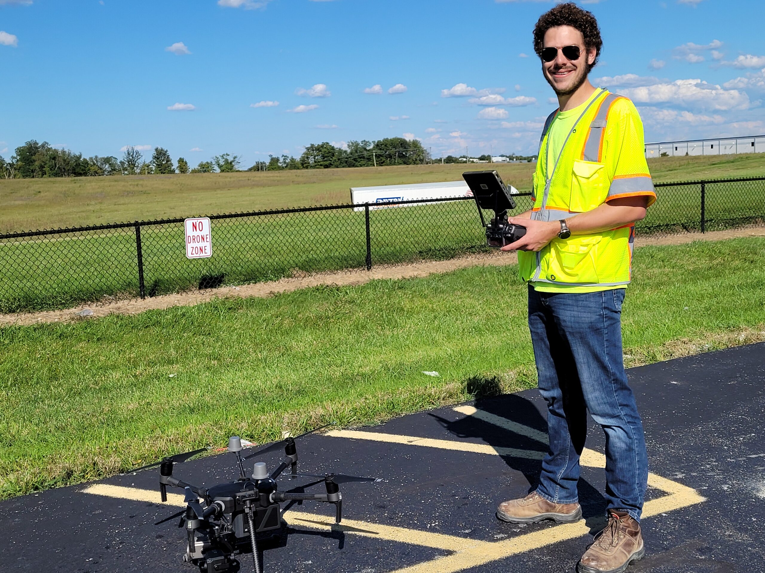
Company: Woolpert
Current Position: Survey Technician, UAS Subject Matter Expert/Pilot
Age: 29
Education: BS in Geology and Earth Sciences, Montana State University
Biography: An unmanned aircraft systems (UAS) specialist with experience across public and private sectors, Ethan plays a key role in Woolpert’s contributions to furthering the emerging field of UAS applications in aviation environments.
Ethan plans and executes UAS flights, processes field-collected data, produces reports and deliverables, and coordinates with clients to meet specific needs. He also provides quality control and assurance to final charts, reports and Airports Geographic Information Systems (AGIS) deliverables for compliance.
Ethan has a strong background in mapping and GIS, which he integrates with his UAS and aviation projects, enabling him to navigate the challenges of urban airspace while prioritizing safety and risk management. He has earned his remote pilot’s license, has conducted extensive Office of Emergency Management training, is certified in HAZWOPER training for work on volumetric surveys in hazardous mining environments, and was an early adopter of both vertical takeoff and landing (VTOL) and fixed-wing drones. Ethan also is exceptionally adept at GPS field operations and GIS and CADD software, including Trimble, Autodesk and Esri.
Some of Ethan’s most notable projects include using UAS for construction monitoring in support of runway extension at Paoli Municipal Airport, a UAS integration at Savannah/Hilton Head International Airport resulting in airspace approval that was the first of its kind in controlled airspace, and FAA airport technology research and development work regarding the application of UAS for airport operations. The latter included aircraft rescue and firefighting, obstruction analysis, perimeter security and pavement evaluation.
Most recently, Ethan presented on “AI in Aerial Mapping” at the GIS-Pro 2021 Conference, on “Drone Operations and Data Use in GIS” at the Minnesota GIS/LIS Consortium, and on “The Challenges of Operating UAM and UAS in the Low-Altitude World” at the Ohio Transportation Engineering Conference.