Why NALS should oppose the direct Point Positioning Survey (DPPS) policy outlined in the letter from NLM director Kornze to the governor of Alaska. (One Nevada surveyor’s opinion.)
Some 86% of Nevada is comprised of Public Lands, and of that 60.8 million acres, according to the BLM’s own website, an estimated 30% (18.2 million acres) has never been surveyed by the BLM or its predecessor, the General Land Office. Nevada therefore has a huge stake in any policy that the BLM adopts with respect to how new surveys will be completed and monumented. (Although, let’s face it, much of the Silver State is likely to remain unsurveyed until the sun has shrunk to nothing more than a warm rock.)
Nevada is sparsely populated and even more sparsely fitted with the kind of GPS control and continuously operating base stations needed to accommodate real-time coordinate establishment. But that is hardly the main reason why DPPS is a bad idea.
Datums change and continents drift. Nevada’s rough and beautiful terrain is largely the result of a thinning, spreading crust pushing up wrinkles that we call mountain ranges. True, this takes place over millions of years, but movement continues to occur nonetheless, and it can be tracked over time measured on a human scale. A coordinate is a poor substitute for a monument when it represents a different point on the Earth as time goes by.
When establishing his policy of “bring[ing] cadastral survey into the 21st century”, outgoing BLM director Neil Kornze apparently did not read, or read but did not comprehend, the following passage taken from his own agency’s bible, the 2009 BLM Manual of Surveying Instructions:
“4-2. The law provides that the corners marked during the process of an original survey shall forever remain fixed in position, even disregarding technical errors that may have passed undetected before acceptance of the survey. The courts attach major importance to evidence relating to the original position of the corner, such evidence being given far greater weight than the record relating to bearings and lengths of lines. The corner monument and its accessories constitute direct evidence of the position of the corner…The legal importance of the corner makes mandatory the workmanlike construction of lasting monuments skillfully related to natural objects or improvements so that the greatest practicable permanence is secured.”
News flash, Neil: a coordinate is not “direct evidence of the position of the corner” no matter how badly you want it to be so. And if selected cadastral staff supported this idea, as Kornze’s letter asserted, they must have bent linear reasoning into a Mobius strip to do it.
Now the sad truth of all this is that the government wants to spend less money on surveys than it has traditionally spent. It’s that simple. The DPPS is a scheme to cut costs, masquerading as a high-tech advancement in cadastral survey methods. Let’s hope that most of BLM cadastral staff are not drinking the Kornze Koolaid, and let’s also hope that the new director, when appointed, has at least a rudimentary ability to understand and appreciate the importance of physical monumentation with respect to our nation’s 250+ years of accumulated boundary case law.
But just in case, let’s remind them.
-CRC January, 2017
From Field Notes Editor Scott P. Martin
While this BLM proposal is certainly worth debate, discussion, and perhaps even argument and this op-ed piece clearly represents the author’s professional opinion and perspective, some clarification is necessary.
Yes, datums change and continents drift, as stated. That is what makes the concept of epoch date so critical with regards to the meta data reported for any survey tied to the National Spatial Reference System (NSRS). It is a requirement in California. As the author states, the movement can be tracked over time; therefore a model, such as the NGS tool HTDP, can be used to model coordinates on the ground back to where they were within acceptable tolerances, when originally established.
This may not be the case in many parts of Alaska where velocity data is sparse, but resurveys on passive marks could be used to compute local velocity models instead. For the continental United States, including Nevada, the HTDP model is well accepted and has been maintained and improved continuously since its original development.
Secondly, the sparseness of available “GPS control and continuously operating base stations” not being adequate to “accommodate real-time coordinate establishment” is not a viable argument, in my opinion. Proper static methods can be employed to set azimuth pairs from which monuments could be set using conventional terrestrial techniques. Real-time coordinates need not be established to put the physical monument at the correct location (established coordinate).
I should have used this proposal as another example of why coordinates should, or could, have a higher value with regards to boundary establishment and retracement in my Field Notes installment, “Coordinates: The Rodney Dangerfield of Boundary Surveying.”
This highly controversial proposal has been the subject of numerous presentations and studies. The National Society of Professional Surveyors (NSPS) assembled an analysis and comment committee to look into this proposal. Click here to view a PDF of the report generated by this committee, dated November 14, 2016.
Additionally, a presentation was made at a Citizens’ Advisory Commission on Federal Areas meeting in January 2016 by Michael Schoder, BLM Alaska Chief Cadastral Surveyor. You can view the PDF here.
NGS director, Juliana P. Blackwell, authored a letter to Mr. Schoder on this proposal, which is available here as a PDF.
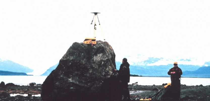
Photo credit: the NOAA Geodesy Collection