Category Archives: Lidar/Imaging
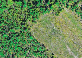
Lidar for Forestry
Above: Lidar-derived tree crowns and maximum tree-top heights are overlaid on a 20cm orthophoto. Vector-based products allow for a transition from the point cloud to GIS. A forester’s guide to understanding lidar topics, from upfront data-acquisition costs to business benefits to the path from research to operationalization. Although many lidar industry insiders never imagined the...
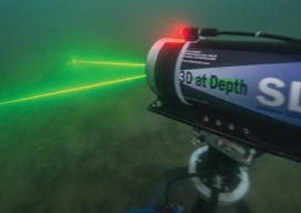
Mapping the USS Arizona
A unique pro bono collaboration creates the first-ever integration of multiple technologies for mapping a historic monument. The battleship USS Arizona was bombed during the Japanese attack on Pearl Harbor on December 7, 1941. The ship exploded and sank, killing 1,177 officers and crew. It now lies at the bottom of the harbor. In 1961, Elvis Presley...
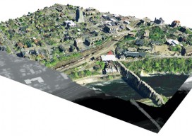
Big Data, Public Data
Above: A lidar-derived elevation raster DSM (of Dinkytown, MN) draped by an aerial photo. Free Aerial Lidar, Renewable Energy, an Infectious Mentality At the intersection of renewable energy, big data analysis, geospatial technology, and public data availability stands the Minnesota Solar Suitability Analysis project. Primarily manned by students in the University of Minnesota Master’s of Geographic...
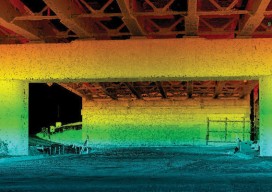
Surveying
Above: This bridge in Baltimore took 1 hour and 45 minutes to scan: 550 feet of roadway or 1.5 acres, including all the beams for the underside of the bridge for clearance and engineering design. Reality Capture, Targetless Registration, the End of Dedicated Field Crews As I stood in a courtyard of the Walter Reed National...
Inspired to Cross the Line
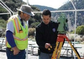
A former police officer hangs up his cuffs to make a greater impact supplying police departments with vital forensics equipment. Precision Survey Supply in Rancho Cucomonga, California, provides equipment to construction and survey companies as well as municipal agencies, but the customers nearest and dearest to the heart of company founder and owner Sam El-Said...
Exceeding the Limits
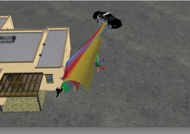
Forensic survey technology is now a need rather than a luxury as Latin America’s urban concentration accelerates. For decades the art and science of determining how a crime was commit-ted and how a car crash occurred has relied on expert hypotheses based on personal experience and memory. Experts have used tape measures, cameras, and paper...
