In the context of the history of surveying and mapping, the evolution from analog to digital occurred only in the latter half of the 20th century. Since then there have been several distinct “waves” in the development of tools and solutions. This is true of both optical solutions and GNSS, but it’s a bit more pronounced regarding the latter, as satellite navigation did not exist for broad applications until 50 years ago.
What is the fourth wave? It heralds a new era of choice, affordability, automation, and accelerated innovation—but also a potential for low-cost technology to be misused by unskilled hands. But let’s accentuate the positive: who could not see the prospect of more and affordable choices as a good thing?
Optical
In the realm of optical instruments, the first wave was the age of antiquity—Roman, Greek, Dynastic Chinese, etc.—all the way up to the 19th century when the first industrialized production of transits and theodolites began.
The second wave involved many consolidations, and by the mid-20th century a short list of big names would create product families to dominate global markets.
The analog-to-digital third wave added not only EDMs and later robotics to the familiar instrument-on-the-tripod but also scanning and imaging, as well as new platforms for deployment, like UAS and mobile mapping.
This timeline of waves did not coincide with that of GNSS, but they have converged on the fourth wave.
GNSS
The first wave of GNSS began with military projects in the 1950s, evolving to the U.S. Navy Timation and Transit (doppler) systems in the ’60s and ’70s, with the USAF’s GPS (as we know it) launching in the late ’70s. The instruments and solutions, including field instruments, were developed by and for the military, typically for navigation purposes, though some would evolve into commercial solutions, such as Magnavox and Texas Instruments.
The second wave was the commercialization, for navigation and then positioning, by pioneers like Charlie Trimble. A short list of GNSS brands emerged, essentially dominating the market but with enough healthy competition to spur steady innovation.
The third wave saw second-tier sub-brands of the big names emerge, as well as a huge market for new, often lower-cost instruments incorporating OEM boards from a handful of the established firms—to serve different value propositions for instruments and software among emerging economies, globally.
4th Wave
The fourth wave involves an even more pronounced growth of options, with brands you may never have heard of that might be selling more of certain instruments than a big-name company.
Inexpensive does not necessarily mean “cheap” anymore. The imitators have now become innovators. For instance, quite a few of the OEM rover manufacturers are now manufacturing their own GNSS boards (with varied success, but some are outstanding).
In optical, the era of “knockoffs” is essentially over. While many of these off-brands may still have a long way to go, they are in some respects nearing par with the more familiar ones. The big names still hold certain advantages, but new entrants are making a splash, especially on the global scene. Names like Tersus, Bad Elf, CHCNAV, South, Emlid, Hi-Target, Satlab, ComNav, EOS, and so many more.
The fourth wave has also been made possible by third-party software developers, like MicroSurvey and Carlson, who provide a familiar experience to the end users in software while supporting dozens of different hardware lines.
Beginning this month and throughout the next year, xyHt will introduce you to names you may not have heard of but you might be surprised by—in the depth (and sheer scale) of their portfolios. Deploying the new and unknown can carry risks, of course, and while we do not endorse any specific products, we feel it is important for folks to know that these agents of the fourth wave are out there.
#4thWaveGNSS #4thWaveSurveyingInstruments #4thWaveGeomaticsInstruments
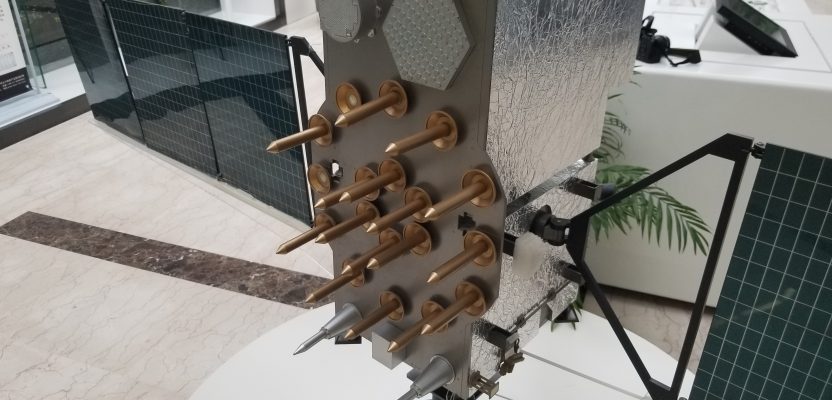
Above image: A mock-up of a Beidou (Compass) global navigation system satellite at the Beidou Institute in Shanghai. The fourth wave of surveying and geospatial hardware and software innovation and development is happening all over the globe. Credit: G. Schrock.